Description
The ZKM throws new light on 17th century landscape painting. Comparable to modern satellite surveying (GPS), true to scale landscape representation is also indebted to the interdisciplinary exchange of knowledge: the alliance of geodesists, mathematicians, instrument makers and painters. Artists had designed modern surveying systems long before new media drew on images from outer space.
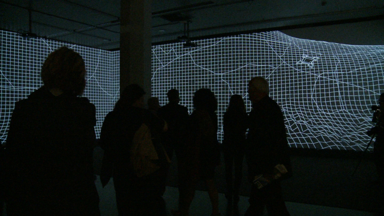
The exhibition »Mapping Spaces« examines, for the first time ever on this scale, the influence of early modern guide books in geography, the science of surveying and the construction of fortification on Dutch painting around 1650. The prelude to the project, developed at the University of Trier, is Pieter Snayers‘ large-format depiction of historical battle scenes, in which maps and landscape paintings are projected over one another so as to document the most recent developments in modern engineering, ballistics and the fortification construction.
Video Documentary:
ZKM | Institute for Visual Media
Camera:
Paula Reissig, Martina Rotzal, Christina Zartmann
Editing: Martina Rotzal, Christina Zartmann
Voice: Berth Wesselmann
Music: Apple Loops

, 1660; Exhibition View Mapping Spaces / The British Library, © photo: ZKM | Karlsruhe 2014/ Felix Grünschloß")